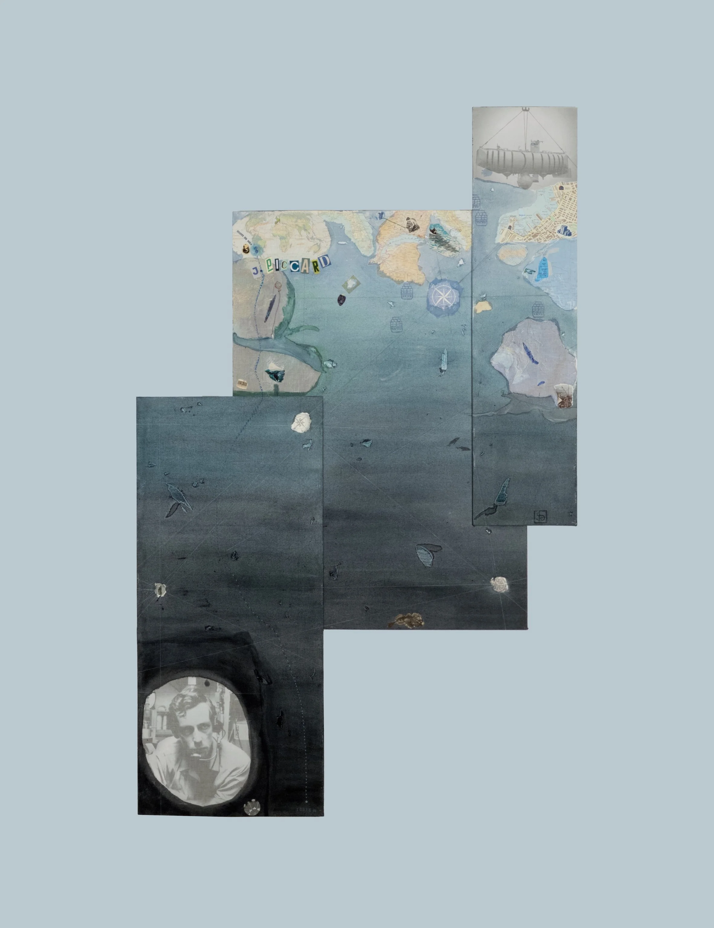
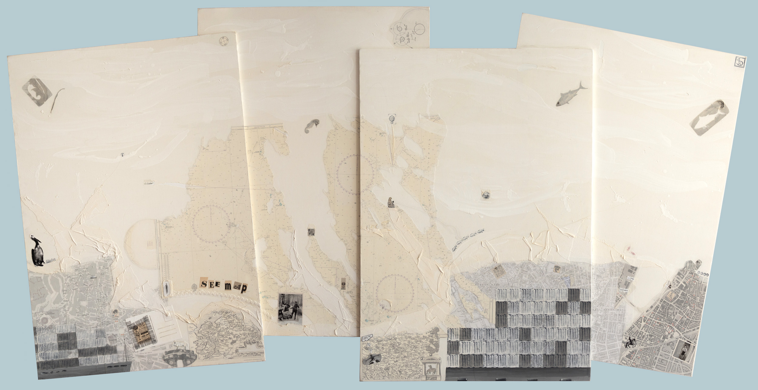
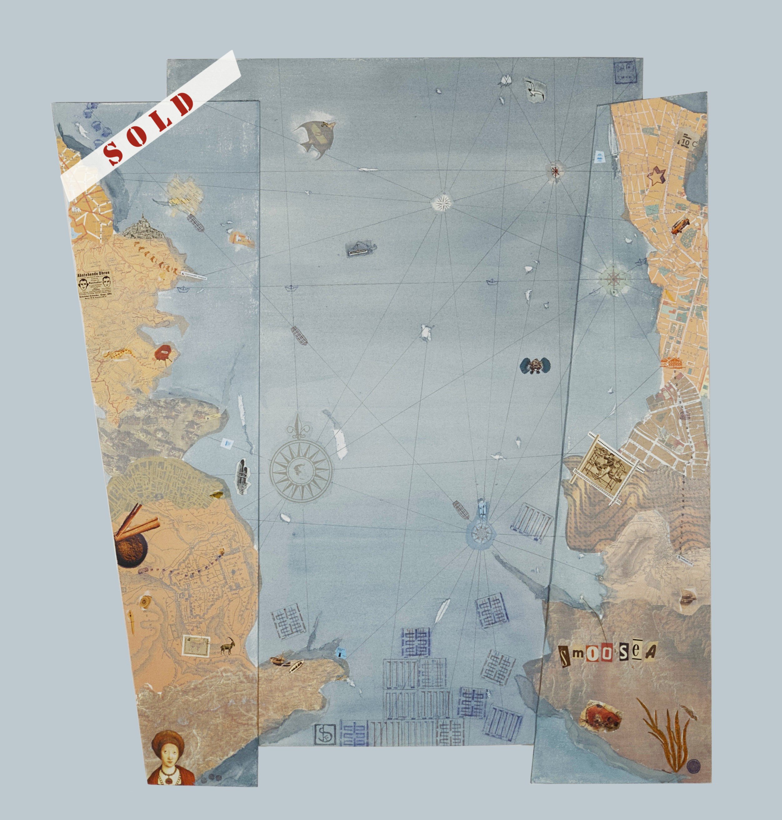
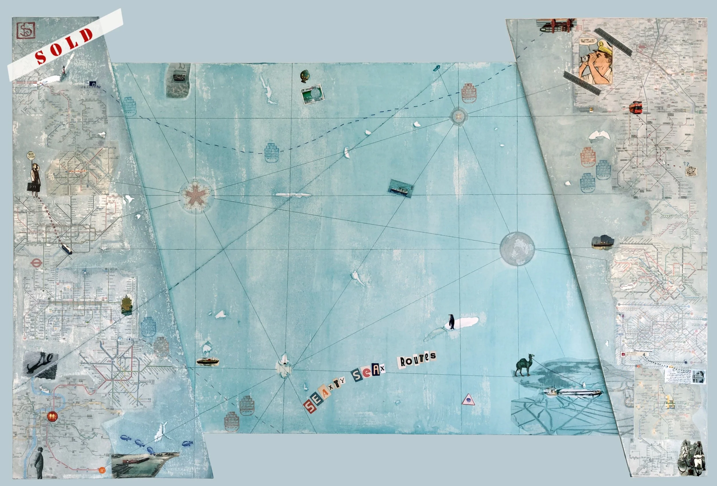
SEAmaps
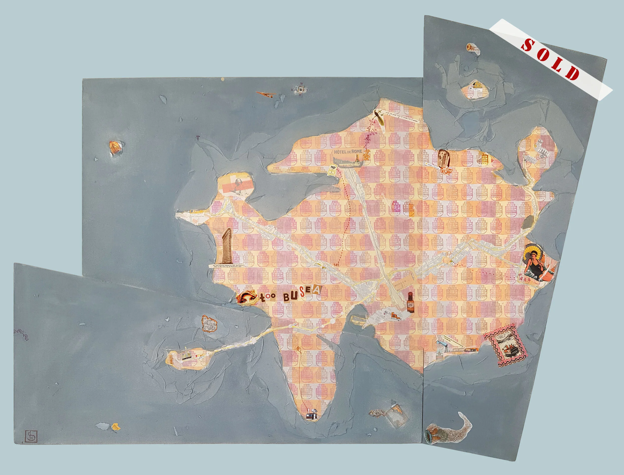
In the SEAmaps, my love for the sea, my passion for collecting old land and nautical charts, and my fascination with ships, containers, and harbors intertwine with wanderlust and the joy of getting "lost"—in foreign places, past eras, somewhere between cities, countries, islands, and oceans.
At first glance, they resemble traditional maps, displaying strange yet sometimes familiar shapes of cities, countries, and continents—though in impossible combinations.
Layer by layer, these elements are superimposed, with much happening along the edges and coastlines, while just as much—like in the sea itself—takes place beneath the surface.
Just as ancient nautical charts were adorned with images of ships, gods, weather phenomena, and demons, these maps feature people, objects, and depictions that bring the SEAmaps into the present.

mapa mundi
523 x 297 cm / 206 x 117 in
2022